
Maikunkule Land Assessment

Land assessment supported by field documentation, regional positioning and an evidence-led reporting process.

Download overview ↓
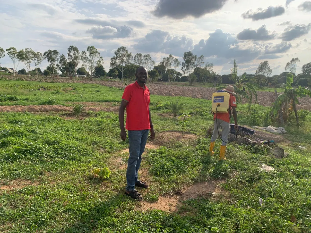
Aerial view of agricultural field operationsLand assessment
Area400 acres · confirmation pending
Field milestoneJune 25, 2026
Regional locationMaikunkule area, Niger State, Nigeria
StatusField phase documented

Create a practical baseline for land-readiness decisions and the next phase of project planning.

Public information is intentionally limited to the verified project scope. Commercially sensitive details, exact site coordinates and stakeholder data are available only with authorization.
  1. 01
    Scope

    Assessment priorities and evidence requirements aligned.

  2. 02
    Fieldwork

    Site conditions documented through an organized field process.

  3. 03
    Report

    Findings translated into clear next-step recommendations.

  • Land-readiness review
  • Field documentation
  • Regional positioning
  • Structured recommendations

Field context,
made visible.

Images support project communication without exposing private participant data or exact farm boundaries.

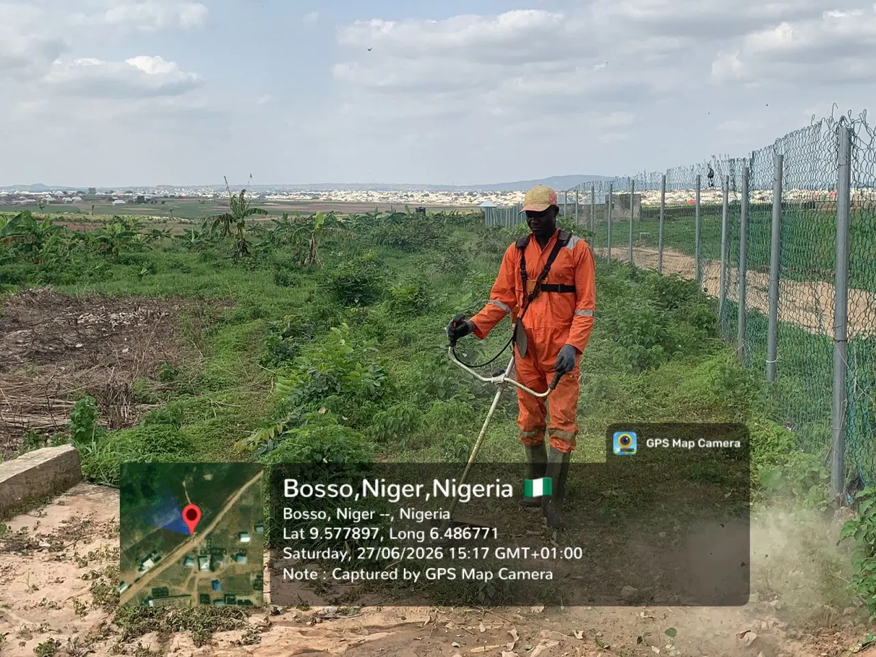
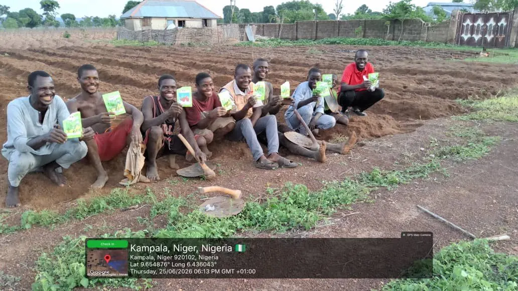
Aerial view of agricultural field operationsField evidence showing crop and soil contextFarmer presenting harvested produce
Before / after protocol

A comparable baseline and follow-up image pair has not been publicly released for this pilot. TechAgroBridge will only publish a comparison after both images are verified, date-aligned and authorized.

400Acres assessed
1Evidence baseline
25 JunField milestone

Scan. Share. Discuss.

This passport has its own social card, QR code and downloadable one-page overview.

QR code for Maikunkule Land Assessment