Aquatic & Green Perimeter Safety

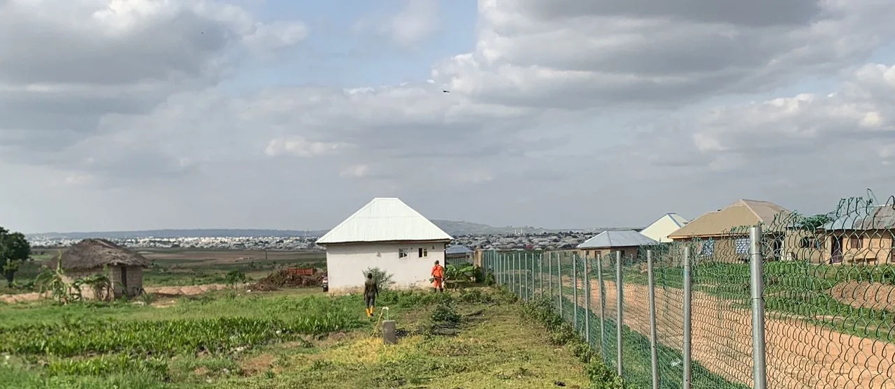
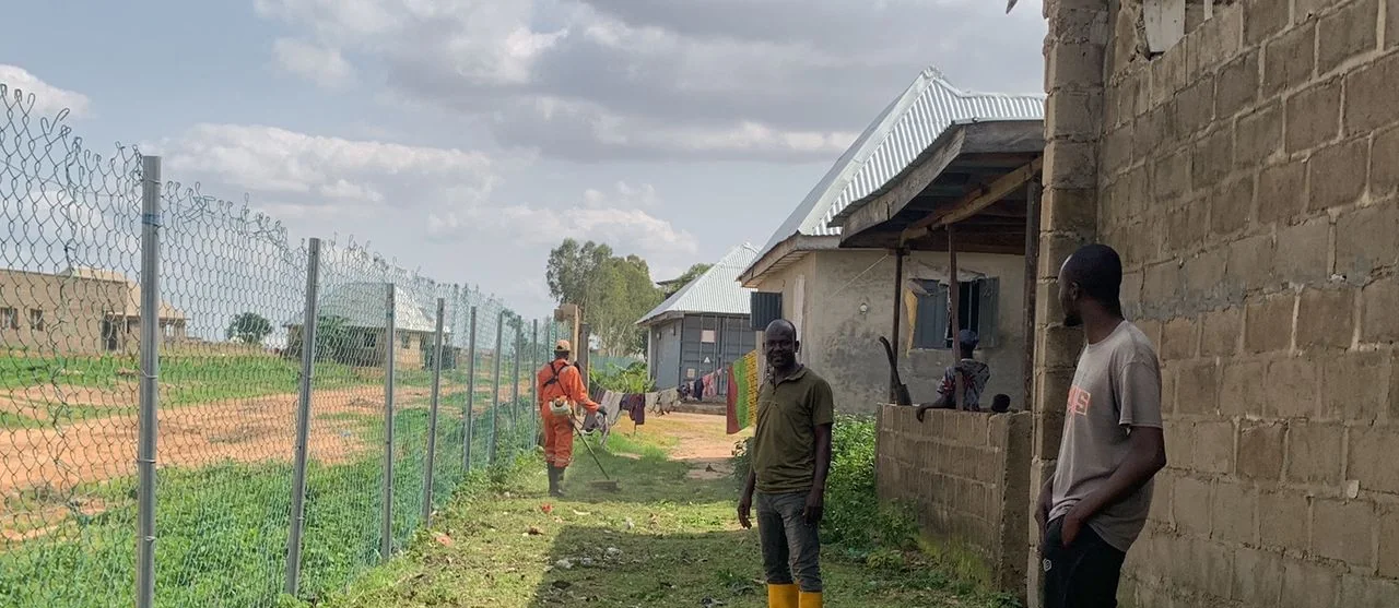
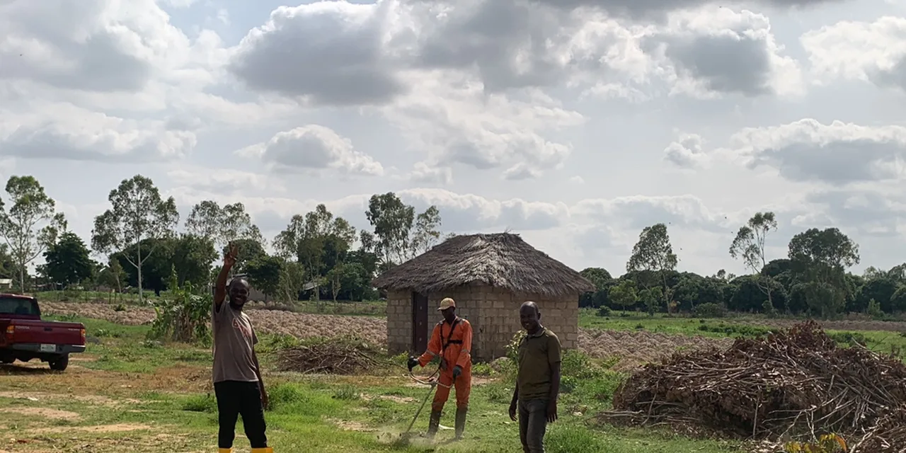
A supervised field operation improving approximately 150 metres of perimeter access and documenting safety, drainage and crop context.

Download overview ↓
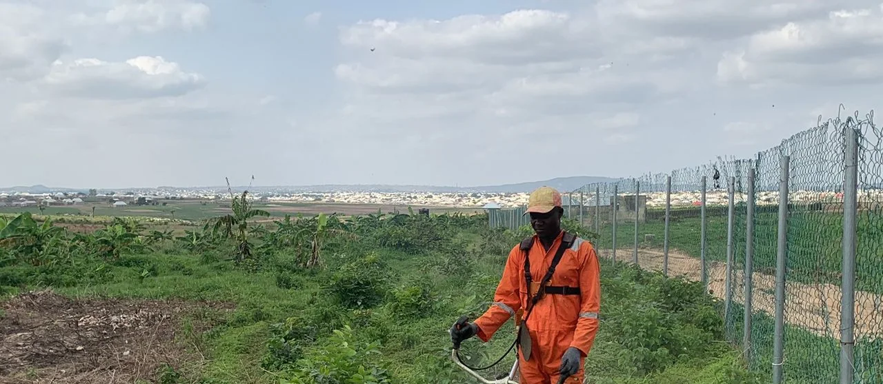
Worker clearing an agricultural access pathwayPerimeter safety
AreaNot publicly stated
Field milestoneJune 27, 2026
Regional locationBosso area, Niger State · Regional reference
StatusField phase documented

Improve safe field access while preserving a clear operational record for continued crop and perimeter monitoring.

Public information is intentionally limited to the verified project scope. Commercially sensitive details, exact site coordinates and stakeholder data are available only with authorization.
  1. 01
    Inspect

    Access and perimeter conditions reviewed.

  2. 02
    Clear

    Approximately 150 metres of pathway access improved.

  3. 03
    Monitor

    Maintenance and risk follow-up defined.

  • Pathway clearing
  • Perimeter inspection
  • Safety observations
  • Evidence reporting

Field context,
made visible.

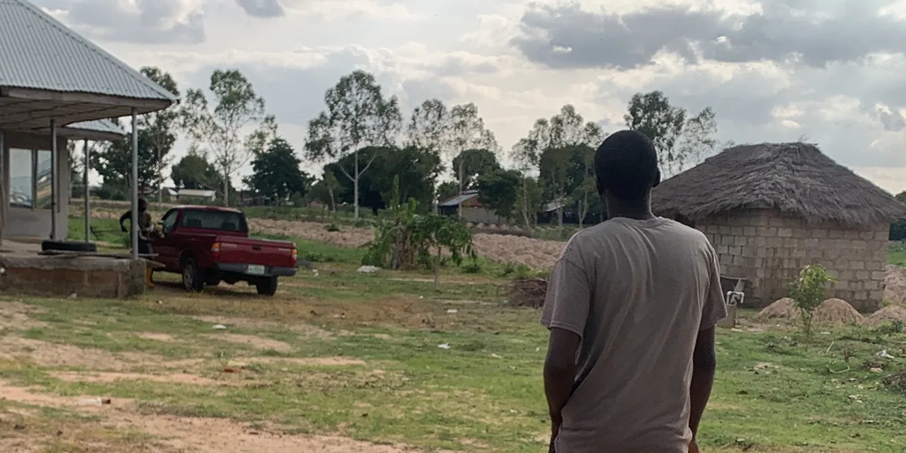
Images support project communication without exposing private participant data or exact farm boundaries.

Aquatic and Green field evidenceAquatic and Green field evidenceAquatic and Green field evidence
Before / after protocol

A comparable baseline and follow-up image pair has not been publicly released for this pilot. TechAgroBridge will only publish a comparison after both images are verified, date-aligned and authorized.

150 mAccess improved
0Visible incidents
CompleteField operation

Scan. Share. Discuss.

This passport has its own social card, QR code and downloadable one-page overview.

QR code for Aquatic & Green Perimeter Safety